High Line Canal
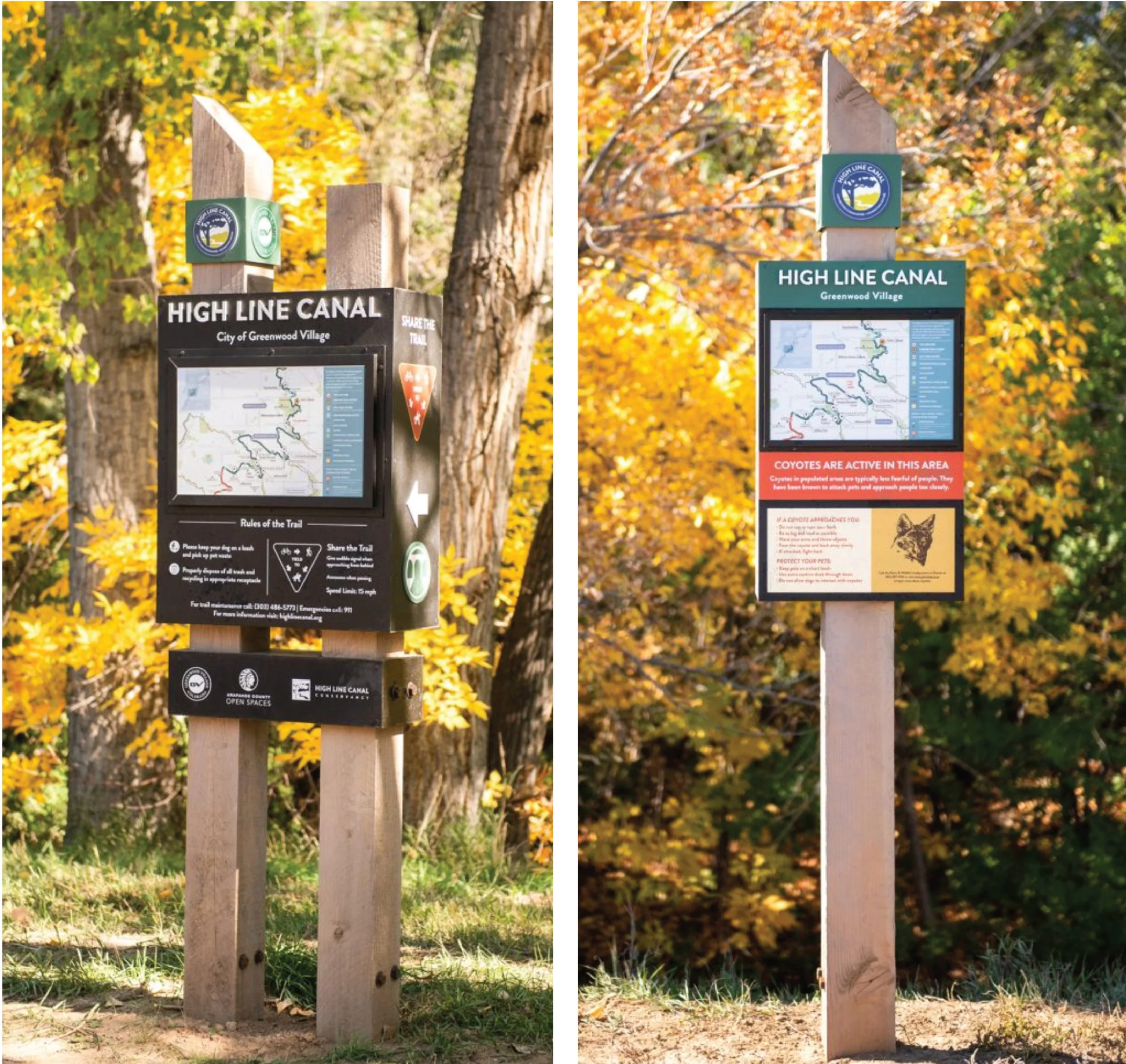
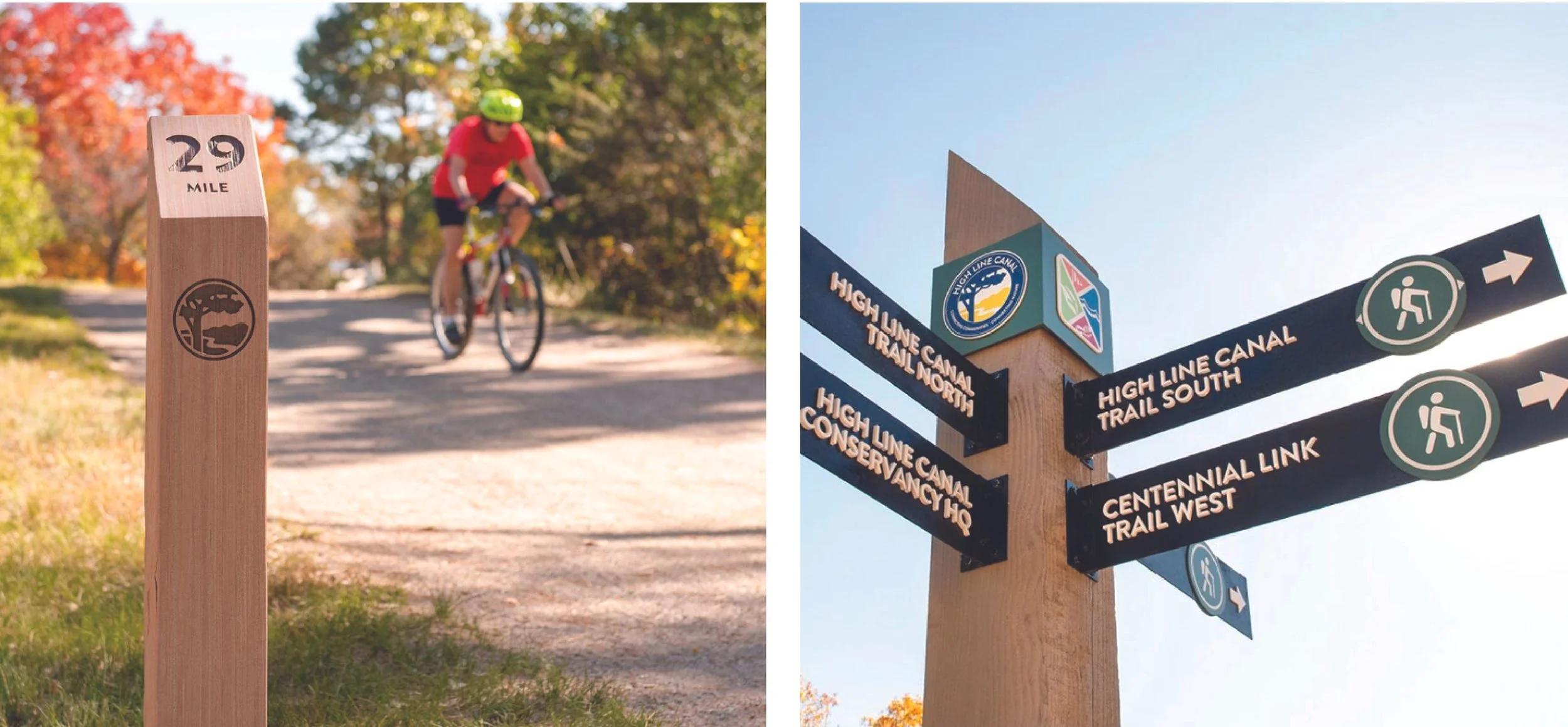
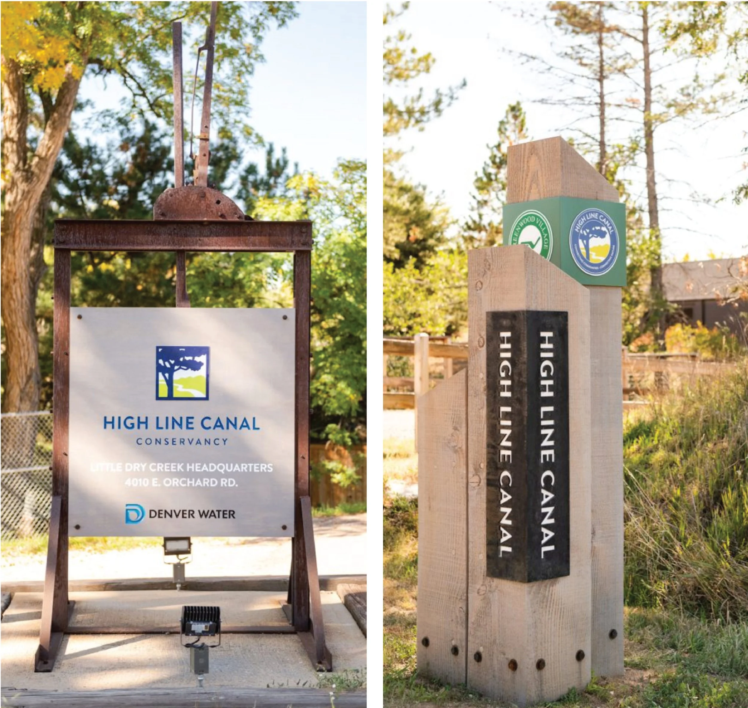
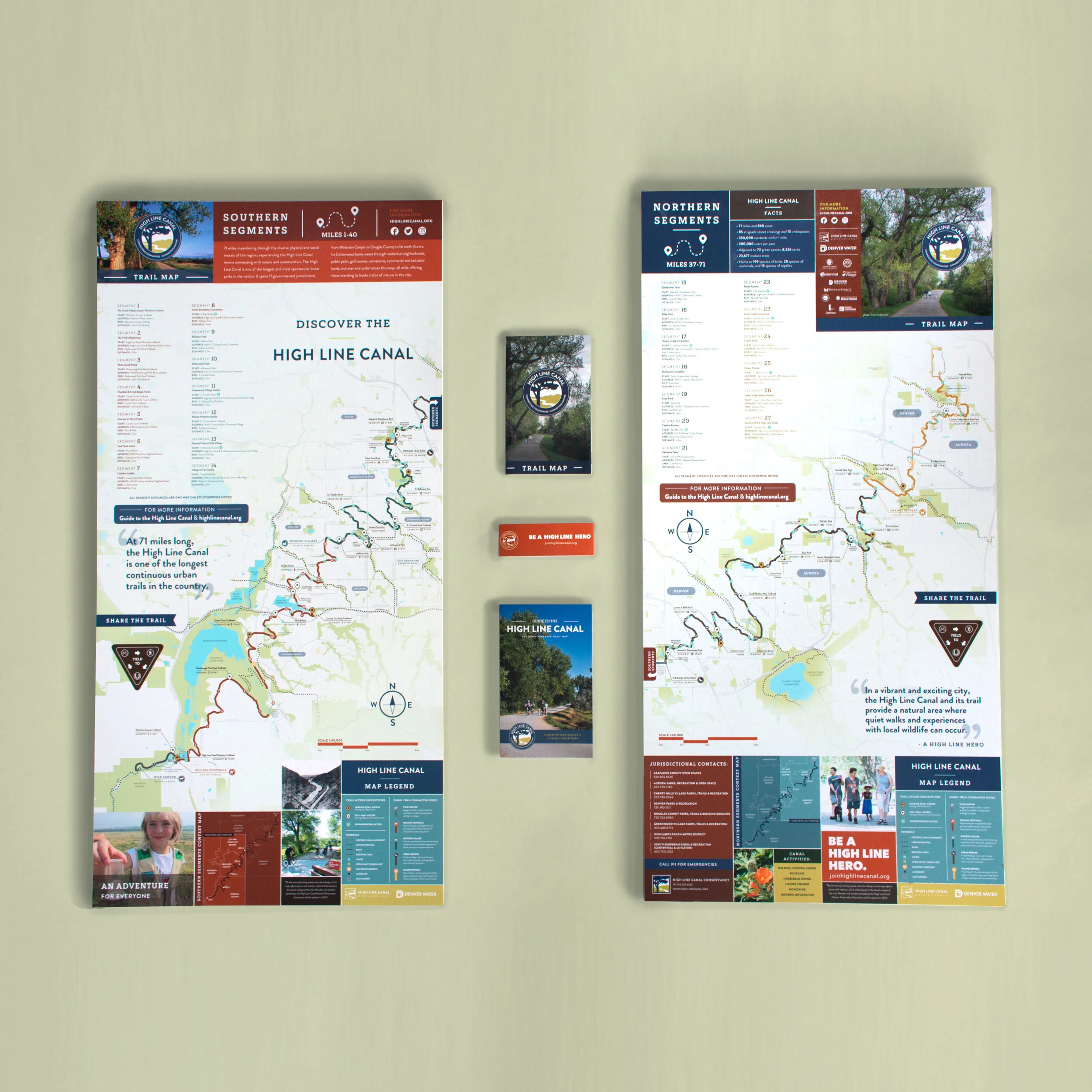
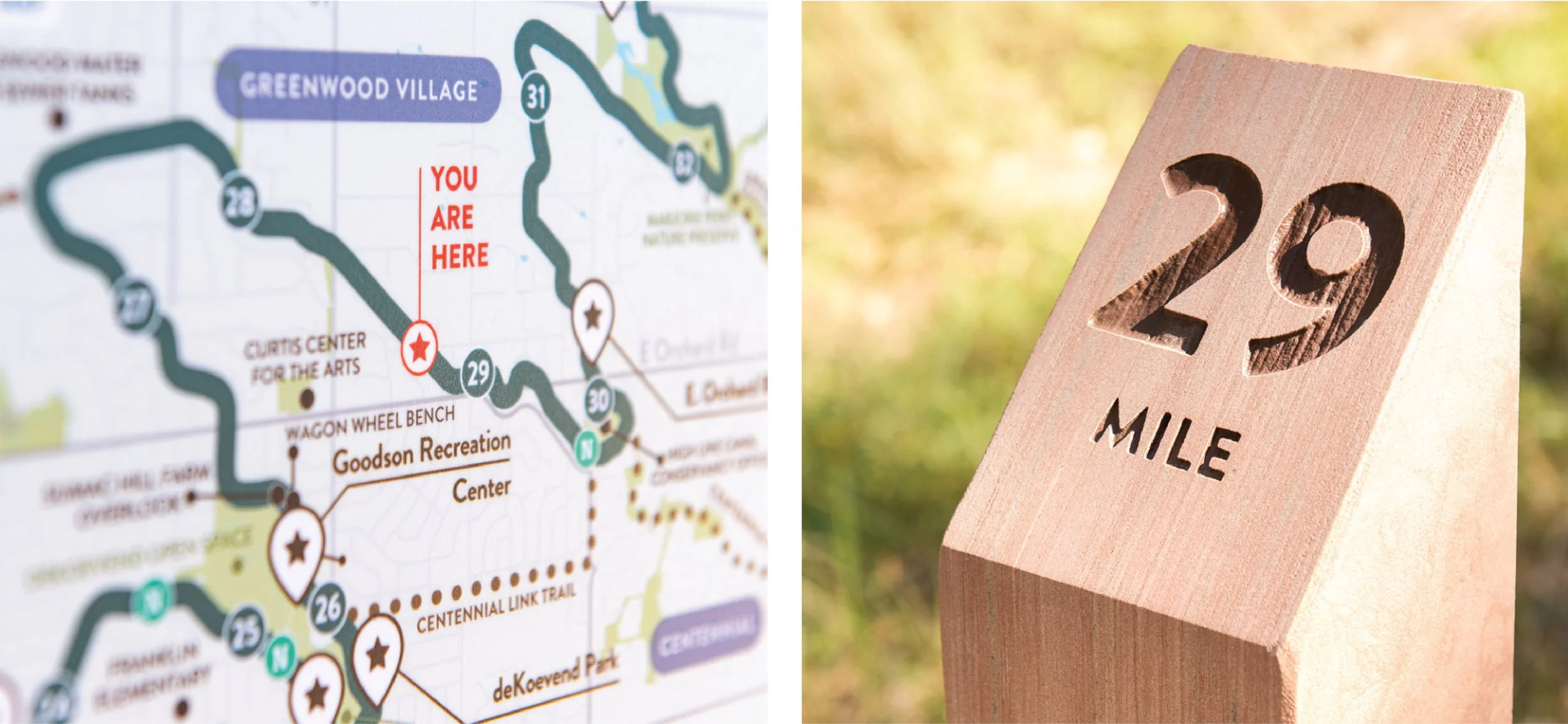
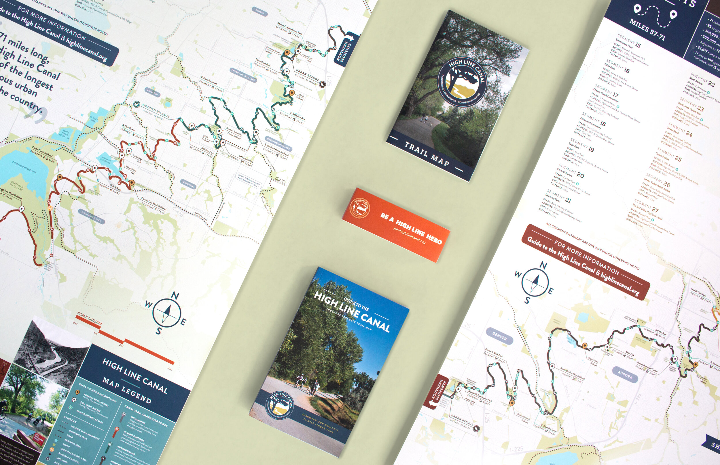
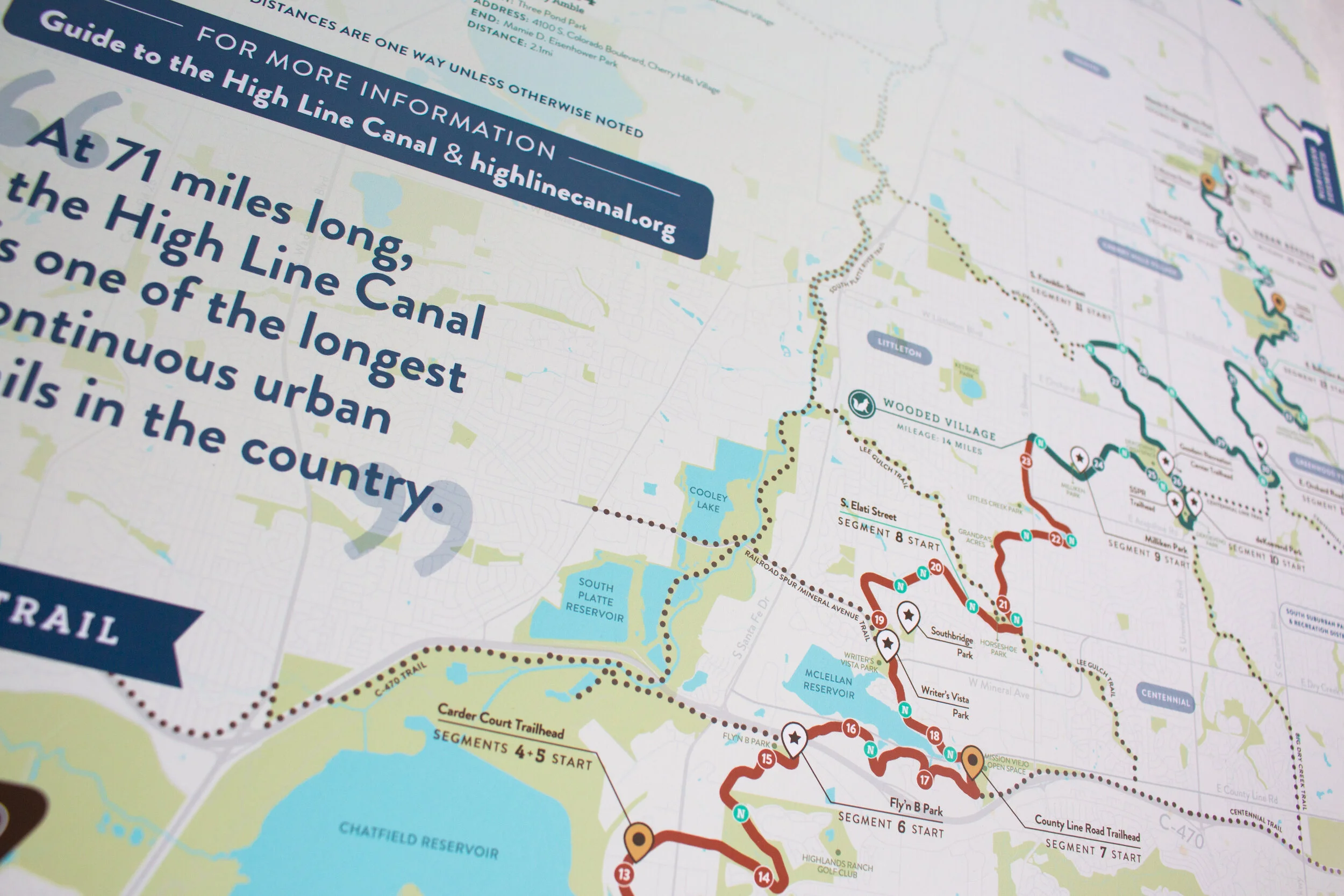
The High Line Canal map, guide, and wayfinding signage program work together as a cohesive system to help visitors navigate and discover this beloved 71-mile Colorado trail. The map and guide provide navigational tips while highlighting the Canal’s history, natural features, access points, landmarks, and connecting trails, breaking the route into 27 walkable, bike- and equestrian-friendly segments. Extending that experience into the landscape, a comprehensive family of trailhead signs, map kiosks, wayfinding elements, and interpretive signage creates consistency across the Canal and the many jurisdictions it passes through. Together, the system makes the High Line Canal more accessible, intuitive, and inviting while encouraging exploration along every curve.
̌
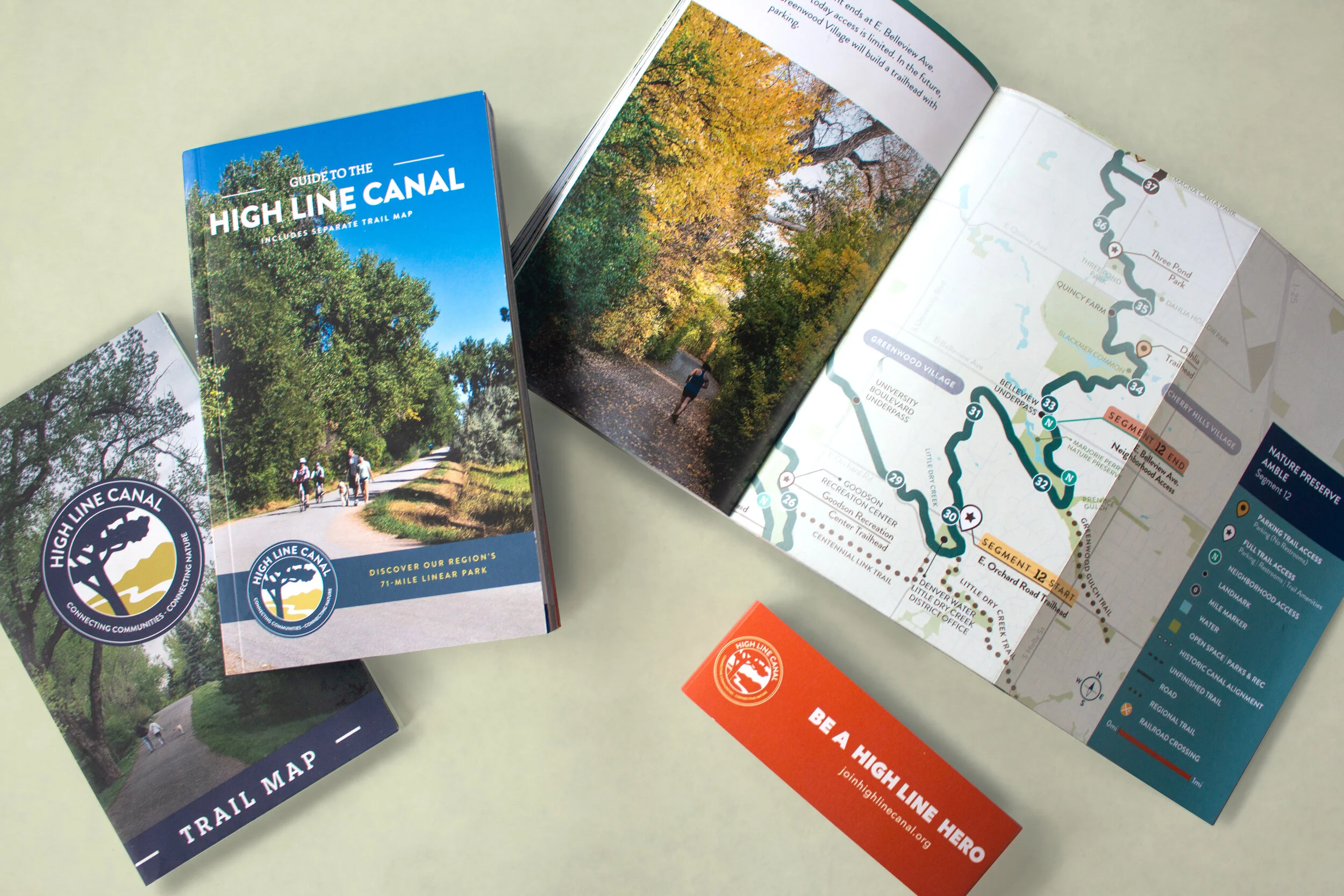
Layout Design | Map Design | Print Management & Oversight
PROJECT ROLE Map: Lead Designer | Guide: Design Support | Photographer
CLIENT High Line Canal Conservancy
LOCATION Denver, CO
COMPLETED Winter 2019
CREATIVE DIRECTOR(S) Aaron Hilst & Zach Kotel
DESIGN SUPPORT Daisy Corso
PRINTER Mike Abell, Nocerino Editions
Work completed while at ArtHouse Design